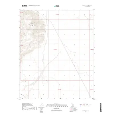
2018 Map of Plaster City NW
USGS Topo · Published 2018About this map
The Old Overland Stage Rte traces a historic passage through the arid landscape of southwestern Imperial County, following the base of the Fish Creek Mountains. This rugged terrain is defined by the steep elevation changes of Barrett Canyon and the expansive, flat stretches of West Mesa. The drainage patterns are dominated by the Carrizo Wash, which meanders across the southeastern quadrant of the survey area, indicating the seasonal water flow that has shaped this desert environment. Published by the U.S. Geological Survey, this 2018 edition provides a detailed look at the public land survey system grid across these townships, preserving the alignment of historical travel routes amidst the natural topography.
Find a feature on this map
14 named features on this map. Tap any name to fly to it.
Don’t see what you’re looking for? This feature index may not catch every label — zoom into the map to look around manually.
Map Details
Editions of this 2018 Plaster City NW Map
This is the sole edition of this map. No revisions or reprints were ever made.
Other maps of this area

1915 · El Centro
USGS Topo · 1:125,000

1931 · Vallecito
USGS Topo · 1:125,000

1931 · Carrizo
USGS Topo · 1:125,000

1940 · Kane Spring
USGS Topo · 1:62,500

1940 · Plaster City
USGS Topo · 1:62,500

1942 · Barrel Spring
USGS Topo · 1:62,500

1942 · El Centro
USGS Topo · 1:250,000

1942 · Carrizo Mtn
USGS Topo · 1:62,500

1943 · Vallecito
USGS Topo · 1:125,000

1944 · Plaster City
USGS Topo · 1:62,500