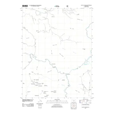
2011 Map of Platte Canyon
USGS Topo · Published 2011About this map
Strontia Springs Reservoir and the South Platte River define this mountain corridor where mining and early recreation intersect. The landscape is heavily marked by mineral extraction, particularly concentrated around Raleigh Peak. Notable operations include the Oregon Mine, White Cloud Pegmatite Mine, and various pegmatite and quarry claims such as Luster Number One Quarries and the Susy Belle Pegmatite Mine.
Find a feature on this map
80 named features on this map. Tap any name to fly to it.
Don’t see what you’re looking for? This feature index may not catch every label — zoom into the map to look around manually.
Map Details
Editions of this 2011 Platte Canyon Map
This is the sole edition of this map. No revisions or reprints were ever made.
Other maps of this area

1893 · Platte Canyon
USGS Topo · 1:125,000

1899 · West Denver
USGS Topo · 1:125,000

1942 · Littleton
USGS Topo · 1:31,680

1945 · Indian Hills
USGS Topo · 1:31,680

1945 · Platte Canyon
USGS Topo · 1:24,000

1945 · Pine
USGS Topo · 1:24,000

1945 · Kassler
USGS Topo · 1:24,000

1948 · Kassler
USGS Topo · 1:24,000

1948 · Pine
USGS Topo · 1:24,000

1948 · Platte Canyon
USGS Topo · 1:24,000