
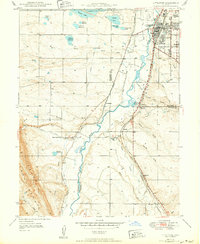
1942 Map of Littleton
USGS Topo · Published 1942About this map
Littleton serves as the focal point for this 1938-39 survey, capturing the community before the post-war expansion of the Denver metropolitan area. The landscape is defined by the South Platte River and its complex network of gulches and creeks, including Dutch Creek and Lee Gulch. Critical water infrastructure for the region is evident through major reservoirs like Marston Lake, Bowles Reservoir, and the Grant A Lake chain.
Find a feature on this map
41 named features on this map. Tap any name to fly to it.
Don’t see what you’re looking for? This feature index may not catch every label — zoom into the map to look around manually.
Map Details
Editions of this 1942 Littleton Map
2 editions found
Other maps of this area

1890 · East Denver
USGS Topo · 1:125,000

1893 · Platte Canyon
USGS Topo · 1:125,000

1894 · Castle Rock
USGS Topo · 1:125,000

1899 · West Denver
USGS Topo · 1:125,000

1913 · Castle Rock
USGS Topo · 1:125,000

1935 · East Denver Nos. 3 and 4
USGS Topo · 1:48,000

1938 · Morrison
USGS Topo · 1:24,000

1940 · Englewood
USGS Topo · 1:31,680

1940 · Castle Rock
USGS Topo · 1:62,500

1941 · Fort Logan
USGS Topo · 1:31,680