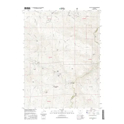
2016 Map of Platte Canyon
USGS Topo · Published 2016About this map
Longview and Foxton serve as the primary human settlements in this mountain landscape, which is largely dominated by the Pike National Forest. The geography is defined by the convergence of the South Platte River and its North Fork, a critical junction where water infrastructure meets the natural wilderness. Notable landmarks such as Dome Rock and Sheep Mtn rise above the drainage basins, while the Colorado Trail winds through the southern reaches, connecting granite features like Chair Rocks and Raleigh Peak. The eastern edge of the quadrangle shows the heavy influence of regional water management, featuring the Strontia Springs Reservoir and the Aurora Rampart Tunnel Number 1. This 2016 survey illustrates the balance between recreation and infrastructure, from the secluded Strontia Spring to the network of local access roads like S Foxton Rd and Highgrade Rd.
Find a feature on this map
69 named features on this map. Tap any name to fly to it.
Don’t see what you’re looking for? This feature index may not catch every label — zoom into the map to look around manually.
Map Details
Editions of this 2016 Platte Canyon Map
This is the sole edition of this map. No revisions or reprints were ever made.
Other maps of this area

1893 · Platte Canyon
USGS Topo · 1:125,000

1899 · West Denver
USGS Topo · 1:125,000

1942 · Littleton
USGS Topo · 1:31,680

1945 · Indian Hills
USGS Topo · 1:31,680

1945 · Platte Canyon
USGS Topo · 1:24,000

1945 · Pine
USGS Topo · 1:24,000

1945 · Kassler
USGS Topo · 1:24,000

1948 · Kassler
USGS Topo · 1:24,000

1948 · Pine
USGS Topo · 1:24,000

1948 · Platte Canyon
USGS Topo · 1:24,000