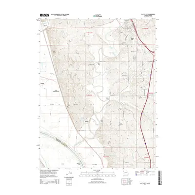
2014 Map of Platte City
USGS Topo · Published 2014About this map
Platte City anchors the northeastern corner of this Missouri landscape, where the Platte River snakes through the center of the quadrangle before meeting the Missouri River at the Delaware Bend. The terrain is defined by the sharp contrast between the broad river bottomlands and the dissected uplands where family-named landmarks like Martin Hollow and Roberts Lake are located. For genealogists, the map is a dense record of rural burial sites, documenting eight distinct locations including the Todd Cemetery, Fox Cemetery, and Bain Cemetery.
Find a feature on this map
95 named features on this map. Tap any name to fly to it.
Don’t see what you’re looking for? This feature index may not catch every label — zoom into the map to look around manually.
Map Details
Editions of this 2014 Platte City Map
This is the sole edition of this map. No revisions or reprints were ever made.
Other maps of this area

1890 · Kansas City
USGS Topo · 1:125,000

1894 · Kansas City
USGS Topo · 1:125,000

1910 · Leavenworth
USGS Topo · 1:62,500

1914 · Smithville
USGS Topo · 1:62,500

1934 · Bonner Springs
USGS Topo · 1:48,000

1934 · Wolcott
USGS Topo · 1:24,000

1940 · Bonner Springs
USGS Topo · 1:62,500
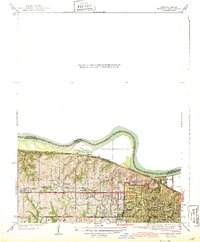
1943 · Quindaro
USGS Topo · 1:31,680
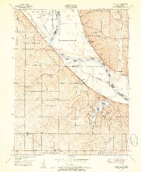
1948 · Wolcott
USGS Topo · 1:24,000

1948 · Leavenworth
USGS Topo · 1:62,500