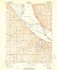
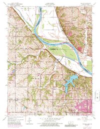
1948 Map of Wolcott
USGS Topo · Published 1954About this map
The Missouri River defines the landscape of this 1948 survey, winding through dramatic bends like Delaware Bend and Pomeroy Bend. This riparian corridor is home to significant institutional and infrastructure landmarks, most notably the Kansas State Penitentiary Farm and its associated Camp No 2 near the northern boundary. The integration of leisure and utility is evident in the southern half of the quadrangle, where the Wyandotte County Lake is surrounded by the Wyandotte County Park, serving as a major local landmark.
Find a feature on this map
65 named features on this map. Tap any name to fly to it.
Don’t see what you’re looking for? This feature index may not catch every label — zoom into the map to look around manually.
Map Details
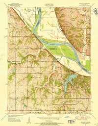
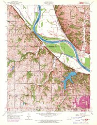
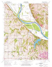
Editions of this 1948 Wolcott Map
5 editions found
Other maps of this area

1890 · Kansas City
USGS Topo · 1:125,000

1894 · Kansas City
USGS Topo · 1:125,000

1910 · Leavenworth
USGS Topo · 1:62,500

1914 · Smithville
USGS Topo · 1:62,500

1934 · Bonner Springs
USGS Topo · 1:48,000

1934 · Shawnee
USGS Topo · 1:24,000

1934 · Edwardsville
USGS Topo · 1:24,000

1934 · Wolcott
USGS Topo · 1:24,000

1940 · Bonner Springs
USGS Topo · 1:62,500
1943 · Shawnee
USGS Topo · 1:31,680