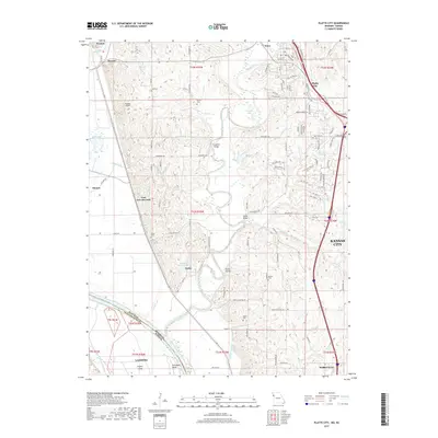
2017 Map of Platte City
USGS Topo · Published 2017About this map
The Missouri River carves a dramatic path through this 2017 study of the borderlands between Missouri and Kansas, passing Stigers Island and Delaware Bend. The landscape is defined by the convergence of the Platte River and its various tributaries like Hettich Br and Moppin Br, which wind through the hills of Platte County. Local infrastructure is anchored by small river communities such as East Leavenworth, Farley, and Beverly, alongside the more developed town centers of Platte City and Tracy. Genealogists will find a wealth of family history preserved in the numerous rural burial grounds, including Todd Cem, Brown Cem, and Jewett Cem. The map also captures modern utility and transport markers like Vandahl Airport and several spans across the waterways, such as Humphery Bridge and Detner Bridge.
Find a feature on this map
122 named features on this map. Tap any name to fly to it.
Don’t see what you’re looking for? This feature index may not catch every label — zoom into the map to look around manually.
Map Details
Editions of this 2017 Platte City Map
This is the sole edition of this map. No revisions or reprints were ever made.
Other maps of this area

1890 · Kansas City
USGS Topo · 1:125,000

1894 · Kansas City
USGS Topo · 1:125,000

1910 · Leavenworth
USGS Topo · 1:62,500

1914 · Smithville
USGS Topo · 1:62,500

1934 · Bonner Springs
USGS Topo · 1:48,000

1934 · Wolcott
USGS Topo · 1:24,000

1940 · Bonner Springs
USGS Topo · 1:62,500
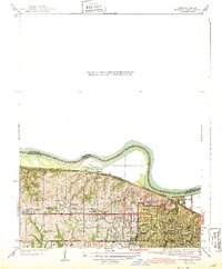
1943 · Quindaro
USGS Topo · 1:31,680
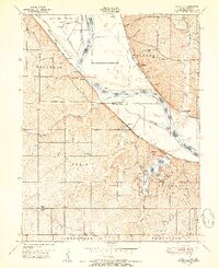
1948 · Wolcott
USGS Topo · 1:24,000

1948 · Leavenworth
USGS Topo · 1:62,500