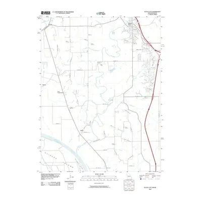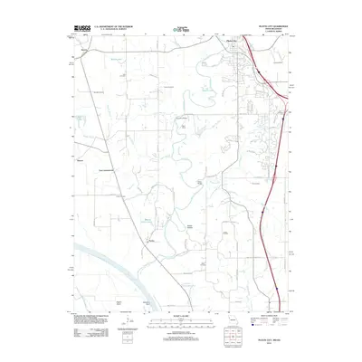
2021 Map of Platte City
USGS Topo · Published 2021About this map
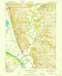
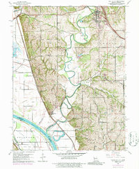
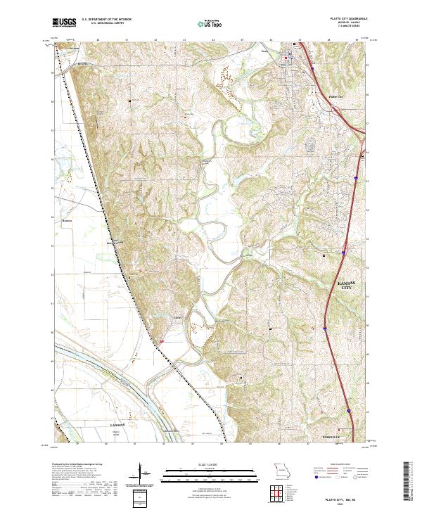
Platte City serves as the focal point of this 2021 survey, situated along a prominent bend in the Platte River where the Platte County Courthouse marks the historic seat of local governance. The landscape is defined by the winding course of the river as it moves south toward its confluence with the Missouri River, creating a complex network of waterways including Prairie Cr, Sand Br, and Hettick Br. To the west, the river bottomlands transition toward the settlement of East Leavenworth and the state border, with Vandahl Airport positioned on the higher ground overlooking the valley.
Find a feature on this map
114 named features on this map. Tap any name to fly to it.
Don’t see what you’re looking for? This feature index may not catch every label — zoom into the map to look around manually.
Map Details
Editions of this 2021 Platte City Map
This is the sole edition of this map. No revisions or reprints were ever made.
Historical Maps of Kansas City Through Time
7 maps found