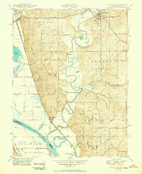
1950 Map of Platte City
USGS Topo · Published 1950About this map
The Missouri River and Platte River converge in this mid-century portrait of Platte County, Missouri, and its neighbor across the state line, Leavenworth County, Kansas. The river landscape is characterized by prominent bends and oxbow features like Horseshoe Lake and Delaware Bend, while the adjacent bottomlands host the expansive Kansas State Penitentiary Farm on Stigers Island. This era captures a rural network of small communities and family-named landmarks, such as East Leavenworth and Beverly, connected by the Chicago Burlington and Quincy railroad line.
Find a feature on this map
57 named features on this map. Tap any name to fly to it.
Don’t see what you’re looking for? This feature index may not catch every label — zoom into the map to look around manually.
Map Details
Editions of this 1950 Platte City Map
2 editions found
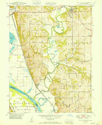
Other maps of this area

1890 · Kansas City
USGS Topo · 1:125,000

1894 · Kansas City
USGS Topo · 1:125,000
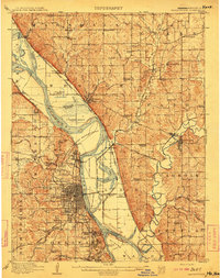
1910 · Leavenworth
USGS Topo · 1:62,500
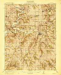
1914 · Smithville
USGS Topo · 1:62,500
1934 · Bonner Springs
USGS Topo · 1:48,000
1934 · Wolcott
USGS Topo · 1:24,000
1940 · Bonner Springs
USGS Topo · 1:62,500
1943 · Quindaro
USGS Topo · 1:31,680
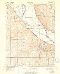
1948 · Wolcott
USGS Topo · 1:24,000
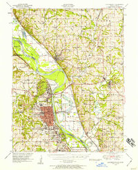
1948 · Leavenworth
USGS Topo · 1:62,500