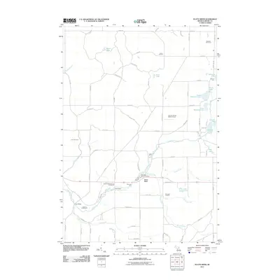
2011 Map of Platte River
USGS Topo · Published 2011About this map
The Platte River winds through this section of Benzie County, supporting a landscape defined by its glacial lakes and conservation infrastructure. Central to the area's identity is the Platte River State Fish Hatchery, which sits near the junction of several critical tributaries including Brundage Creek and Stanley Creek. This region is characterized by a mix of recreational and agricultural land use, featuring seasonal hubs like the Sunnywoods Resort and Campground and Lake Ann Camp.
Find a feature on this map
76 named features on this map. Tap any name to fly to it.
Don’t see what you’re looking for? This feature index may not catch every label — zoom into the map to look around manually.
Map Details
Editions of this 2011 Platte River Map
This is the sole edition of this map. No revisions or reprints were ever made.
Other maps of this area

1954 · Traverse City
USGS Topo · 1:250,000

1954 · Manitowoc
USGS Topo · 1:250,000

1956 · Thompsonville
USGS Topo · 1:62,500

1956 · Frankfort
USGS Topo · 1:62,500

1957 · Empire
USGS Topo · 1:62,500

1957 · Maple City
USGS Topo · 1:62,500

1958 · Traverse City
USGS Topo · 1:250,000

1958 · Manitowoc
USGS Topo · 1:250,000

1976 · Thompsonville NE
USGS Topo · 1:24,000

1976 · Frankfort SE
USGS Topo · 1:24,000