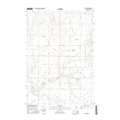
2017 Map of Platte River
USGS Topo · Published 2017About this map
Platte River meanders through the heart of this Benzie County landscape, defining a region rich with glacial lakes and small-scale infrastructure. The presence of both the Almira Cem and Brundage Cem provides specific points of interest for genealogists tracing families in the Inland Township area. Historically significant crossing points are identified by name at Haze Bridge and Case Bridge, indicating where local travel once converged over the water.
Find a feature on this map
90 named features on this map. Tap any name to fly to it.
Don’t see what you’re looking for? This feature index may not catch every label — zoom into the map to look around manually.
Map Details
Editions of this 2017 Platte River Map
This is the sole edition of this map. No revisions or reprints were ever made.
Other maps of this area

1954 · Traverse City
USGS Topo · 1:250,000

1954 · Manitowoc
USGS Topo · 1:250,000

1956 · Thompsonville
USGS Topo · 1:62,500

1956 · Frankfort
USGS Topo · 1:62,500

1957 · Empire
USGS Topo · 1:62,500

1957 · Maple City
USGS Topo · 1:62,500

1958 · Traverse City
USGS Topo · 1:250,000

1958 · Manitowoc
USGS Topo · 1:250,000

1976 · Thompsonville NE
USGS Topo · 1:24,000

1976 · Frankfort SE
USGS Topo · 1:24,000