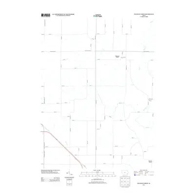
2013 Map of Pleasant Grove
USGS Topo · Published 2013About this map
Pleasant Grove serves as the central focal point of this Des Moines County landscape, situated amidst a dense grid of rural corridors and waterway drainage basins. The area's topography is defined by the winding paths of Flint Cr and Big Hollow Cr, which carve through the agricultural tableland of southeast Iowa. To the south, the smaller settlement of Prairie Grove marks the lower reaches of the map, connected by a network of established local routes including Danville Rd and Jimtown Rd.
Find a feature on this map
53 named features on this map. Tap any name to fly to it.
Don’t see what you’re looking for? This feature index may not catch every label — zoom into the map to look around manually.
Map Details
Editions of this 2013 Pleasant Grove Map
This is the sole edition of this map. No revisions or reprints were ever made.
Other maps of this area

1934 · Burlington
USGS Topo · 1:48,000

1940 · Burlington
USGS Topo · 1:62,500

1946 · Wapello
USGS Topo · 1:62,500

1949 · Wapello
USGS Topo · 1:62,500

1958 · Burlington
USGS Topo · 1:250,000

1958 · Davenport
USGS Topo · 1:250,000

1961 · Burlington
USGS Topo · 1:250,000

1961 · Davenport
USGS Topo · 1:250,000

1962 · Davenport
USGS Topo · 1:250,000

1963 · Burlington
USGS Topo · 1:250,000