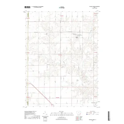
2018 Map of Pleasant Grove
USGS Topo · Published 2018About this map
Pleasant Grove and Prairie Grove serve as the primary anchors for this agricultural portion of Des Moines County, located along the border with Henry County. The landscape is deeply carved by the drainage networks of Flint Creek and its tributary Big Hollow, alongside Cedar Cr in the southwest. This rugged hydrologic pattern forced a road network that often deviates from the standard section grid, visible in the winding paths of Beaverdale Rd and Dodgeville Rd.
Find a feature on this map
62 named features on this map. Tap any name to fly to it.
Don’t see what you’re looking for? This feature index may not catch every label — zoom into the map to look around manually.
Map Details
Editions of this 2018 Pleasant Grove Map
This is the sole edition of this map. No revisions or reprints were ever made.
Other maps of this area

1934 · Burlington
USGS Topo · 1:48,000

1940 · Burlington
USGS Topo · 1:62,500

1946 · Wapello
USGS Topo · 1:62,500

1949 · Wapello
USGS Topo · 1:62,500

1958 · Burlington
USGS Topo · 1:250,000

1958 · Davenport
USGS Topo · 1:250,000

1961 · Burlington
USGS Topo · 1:250,000

1961 · Davenport
USGS Topo · 1:250,000

1962 · Davenport
USGS Topo · 1:250,000

1963 · Burlington
USGS Topo · 1:250,000