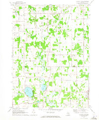
1970 Map of Pleasant Lake
USGS Topo · Published 1973About this map
Bunker Hill and Henrietta townships define this agricultural and wetland landscape straddling the line between Ingham and Jackson counties. The 1970 landscape is dotted with established rural centers like Fitchburg and Munith, the latter situated along the Grand Trunk Western railroad corridor. Significant water features including Batteese Lake and Pleasant Lake are shown with their surrounding residential development and recreational spaces like the Golf Course and Wilderness Park.
Find a feature on this map
44 named features on this map. Tap any name to fly to it.
Don’t see what you’re looking for? This feature index may not catch every label — zoom into the map to look around manually.
Map Details
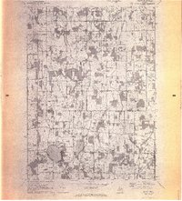
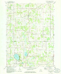
Editions of this 1970 Pleasant Lake Map
3 editions found
Other maps of this area

1908 · Fowlerville
USGS Topo · 1:62,500

1909 · Mason
USGS Topo · 1:62,500

1910 · Fowlerville
USGS Topo · 1:62,500

1911 · Mason
USGS Topo · 1:62,500

1919 · Stockbridge
USGS Topo · 1:62,500

1919 · Rives Junction
USGS Topo · 1:62,500

1921 · Rives Junction
USGS Topo · 1:62,500

1922 · Stockbridge
USGS Topo · 1:62,500

1942 · Stockbridge
USGS Topo · 1:62,500

1958 · Grand Rapids
USGS Topo · 1:250,000
Featured Places
- Leslie Township, MI
- Bunker Hill Township, MI
- Rives Township, MI
- Stockbridge Township, MI
- Pleasant Lake, MI