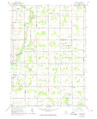
1965 Map of Aurelius
USGS Topo · Published 1974About this map
The Grand River carves the western boundary of this Ingham County landscape, where the rural settlements of Aurelius, North Aurelius, and Petrieville anchored local life in the mid-1960s. The area is defined by an intricate network of drainage systems, including the Grovenburg Drain and Onondaga Drain, which supported the surrounding agricultural lands. Notable for genealogists are the numerous family-named landmarks and community centers, such as Grovenburg Ch, Robbins Ch, and the Skinner Cem located near the northern border.
Find a feature on this map
80 named features on this map. Tap any name to fly to it.
Don’t see what you’re looking for? This feature index may not catch every label — zoom into the map to look around manually.
Map Details
Editions of this 1965 Aurelius Map
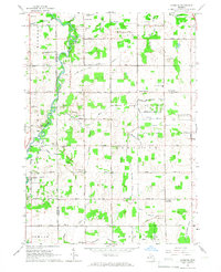
2 editions found
Other maps of this area

1909 · Mason
USGS Topo · 1:62,500

1910 · Lansing
USGS Topo · 1:62,500

1911 · Mason
USGS Topo · 1:62,500

1912 · Lansing
USGS Topo · 1:62,500

1919 · Springport
USGS Topo · 1:62,500

1919 · Rives Junction
USGS Topo · 1:62,500

1921 · Rives Junction
USGS Topo · 1:62,500

1921 · Springport
USGS Topo · 1:62,500

1958 · Grand Rapids
USGS Topo · 1:250,000

1961 · Grand Rapids
USGS Topo · 1:250,000
Featured Places
- Aurelius, MI
- Eaton Rapids Township, MI
- Hamlin Township, MI
- Aurelius Township, MI
- Delhi Charter Township, MI