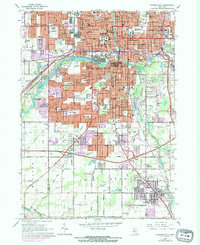
1965 Map of Lansing South
USGS Topo · Published 1974About this map
The Grand River and Red Cedar River converge in the heart of Lansing, anchoring a landscape defined by state governance and mid-century suburban expansion. The map captures the dense infrastructure surrounding the State Capitol, including the Civic Center and Museum, while tracking the outward growth toward East Lansing and the settlement of Holt to the south. Transportation networks are a dominant feature, with the Grand Trunk Western and New York Central railroads threading through industrial zones and residential neighborhoods.
Find a feature on this map
176 named features on this map. Tap any name to fly to it.
Don’t see what you’re looking for? This feature index may not catch every label — zoom into the map to look around manually.
Map Details
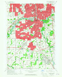
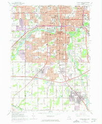
Editions of this 1965 Lansing South Map
Other maps of this area

1909 · Mason
USGS Topo · 1:62,500

1910 · Lansing
USGS Topo · 1:62,500

1911 · Mason
USGS Topo · 1:62,500

1912 · Lansing
USGS Topo · 1:62,500

1927 · De Witt
USGS Topo · 1:62,500

1928 · Laingsburg
USGS Topo · 1:62,500

1944 · Laingsburg
USGS Topo · 1:62,500

1958 · Grand Rapids
USGS Topo · 1:250,000

1961 · Grand Rapids
USGS Topo · 1:250,000

1962 · Grand Rapids
USGS Topo · 1:250,000