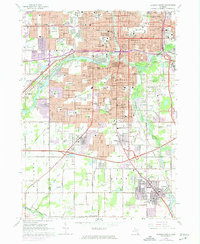
1965 Map of Lansing South
USGS Topo · Published 1974About this map
The State Capitol and the dense urban core of Lansing anchor the northern portion of this survey, where the Grand River and Red Cedar River converge. The landscape transitions from the institutional and industrial centers of the city—marked by the Civic Center, numerous schools like Sexton High Sch, and the Penn Central rail lines—to the emerging suburban and rural reaches of Ingham Co and Eaton Co.
Find a feature on this map
121 named features on this map. Tap any name to fly to it.
Don’t see what you’re looking for? This feature index may not catch every label — zoom into the map to look around manually.
Map Details
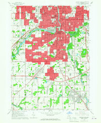
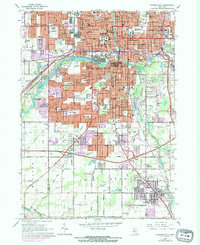
Editions of this 1965 Lansing South Map
Other maps of this area

1909 · Mason
USGS Topo · 1:62,500

1910 · Lansing
USGS Topo · 1:62,500

1911 · Mason
USGS Topo · 1:62,500

1912 · Lansing
USGS Topo · 1:62,500

1927 · De Witt
USGS Topo · 1:62,500

1928 · Laingsburg
USGS Topo · 1:62,500

1944 · Laingsburg
USGS Topo · 1:62,500

1958 · Grand Rapids
USGS Topo · 1:250,000

1961 · Grand Rapids
USGS Topo · 1:250,000

1962 · Grand Rapids
USGS Topo · 1:250,000