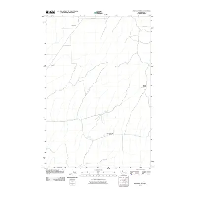
2011 Map of Pleasant View
USGS Topo · Published 2011About this map
Pleasant View and Tompkins are situated within a landscape characterized by deep drainage systems and a rural road network in Walla Walla County. The terrain is defined by significant natural depressions such as Manuel Hollow and Badger Hollow, which shape the local topography and historical movement through the area. Water resources are represented by Smith Springs, which feeds into the aptly named Smith Springs Hollow.
Find a feature on this map
14 named features on this map. Tap any name to fly to it.
Don’t see what you’re looking for? This feature index may not catch every label — zoom into the map to look around manually.
Map Details
Editions of this 2011 Pleasant View Map
This is the sole edition of this map. No revisions or reprints were ever made.
Other maps of this area

1919 · Walla Walla
USGS Topo · 1:125,000

1921 · Walla Walla
USGS Topo · 1:125,000

1948 · Starbuck
USGS Topo · 1:62,500

1948 · Ayer
USGS Topo · 1:62,500

1950 · Starbuck
USGS Topo · 1:62,500

1950 · Haas
USGS Topo · 1:62,500

1953 · Walla Walla
USGS Topo · 1:250,000

1958 · Walla Walla
USGS Topo · 1:250,000
1967 · Prescott
USGS Topo · 1:24,000

1967 · Waitsburg NW
USGS Topo · 1:24,000