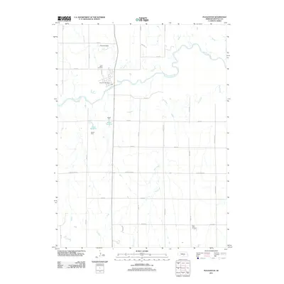
2011 Map of Pleasanton
USGS Topo · Published 2011About this map
The South Loup River winds through this central Nebraska landscape, defining the character of Pleasanton and its surrounding agricultural reaches. This 2011 survey illustrates a community deeply tied to its water resources and land management, with the Pleasanton Post Office serving as a central hub. North of the town center, the small settlement of Pleasant Valley and the Saint Marys Cemetery provide significant points of interest for genealogists tracing local families.
Find a feature on this map
30 named features on this map. Tap any name to fly to it.
Don’t see what you’re looking for? This feature index may not catch every label — zoom into the map to look around manually.
Map Details
Editions of this 2011 Pleasanton Map
This is the sole edition of this map. No revisions or reprints were ever made.
Other maps of this area

1896 · Kearney
USGS Topo · 1:125,000

1896 · Wood River
USGS Topo · 1:125,000

1899 · Loup
USGS Topo · 1:125,000

1951 · Litchfield SW
USGS Topo · 1:24,000

1951 · Hazard
USGS Topo · 1:24,000

1953 · Ravenna
USGS Topo · 1:24,000

1955 · Broken Bow
USGS Topo · 1:250,000

1955 · Grand Island
USGS Topo · 1:250,000

1956 · Broken Bow
USGS Topo · 1:250,000

1957 · Grand Island
USGS Topo · 1:250,000