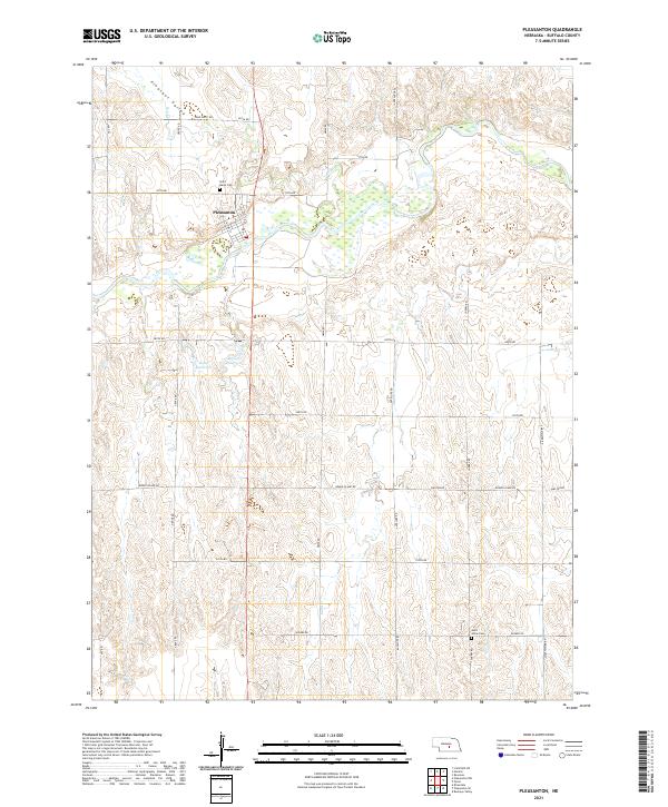
2021 Map of Pleasanton
USGS Topo · Published 2021About this map
Pleasanton serves as the central hub for this portion of Buffalo County, situated along the drainage of Dry Cr within the wider Pleasant Valley. This recent survey illustrates a landscape defined by agricultural infrastructure and traditional rural spacing, featuring local landmarks such as Gunst Reservoir and Brown Reservoir. For those tracing local history or family lineage, the map provides precise locations for Saint Marys Cem just north of town and Saint Johns Cem situated further south along Husker Rd. The terrain is characterized by a grid of rural routes with distinctive local names like Sand Puppy Rd, Grand Island Rd, and Sweetwater Rd, reflecting the enduring settlement patterns of central Nebraska. These roads connect the various townships, including t12n r16w and t11n r15w, across a landscape shaped by the seasonal flow of Sand Cr.
Find a feature on this map
31 named features on this map. Tap any name to fly to it.
Don’t see what you’re looking for? This feature index may not catch every label — zoom into the map to look around manually.
Map Details
Editions of this 2021 Pleasanton Map
This is the sole edition of this map. No revisions or reprints were ever made.
Other maps of this area

1896 · Kearney
USGS Topo · 1:125,000

1896 · Wood River
USGS Topo · 1:125,000

1899 · Loup
USGS Topo · 1:125,000

1951 · Litchfield SW
USGS Topo · 1:24,000

1951 · Hazard
USGS Topo · 1:24,000

1953 · Ravenna
USGS Topo · 1:24,000

1955 · Broken Bow
USGS Topo · 1:250,000

1955 · Grand Island
USGS Topo · 1:250,000

1956 · Broken Bow
USGS Topo · 1:250,000

1957 · Grand Island
USGS Topo · 1:250,000