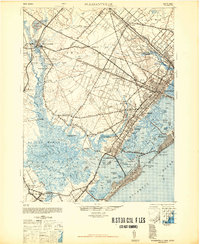
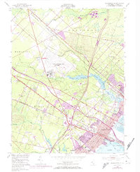
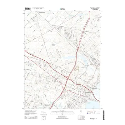
1948 Map of Pleasantville
USGS Topo · Published 1948About this map
The Pennsylvania Reading Seashore Lines define the transport landscape of this coastal region, connecting established hubs like Absecon and Pleasantville to the growing resort communities on the barrier islands. The interior remains characterized by agricultural and industrial footprints, notably the Cranberry Bogs near Lake Lenape and the sprawling Atlantic City Watershed. These rail corridors fostered small rail-dependent settlements such as McKee City Station and Cardiff Station, which stand in contrast to the ancient water-bound landings like Gibson Landing and Jeffers Landing along the Great Egg Harbor River. Coastal operations are anchored by the Ocean City C G S and Great Egg C G S stations, reflecting the vital role of maritime safety and navigation near the Great Egg Inlet during the late 1940s.
Find a feature on this map
101 named features on this map. Tap any name to fly to it.
Don’t see what you’re looking for? This feature index may not catch every label — zoom into the map to look around manually.
Map Details
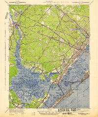
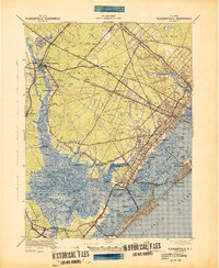
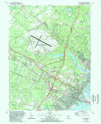
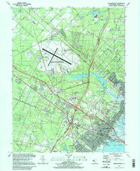
Editions of this 1948 Pleasantville Map
2 editions found
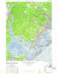
Historical Maps of Egg Harbor Township Through Time
11 maps found
1942 Pleasantville
Atlantic County, NJ
1943 Pleasantville
Atlantic County, NJ
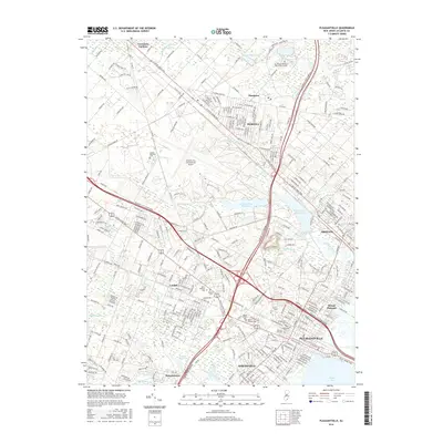
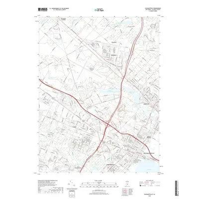
1948 Pleasantville
Atlantic County, NJ
1952 Pleasantville
Atlantic County, NJ
1989 Pleasantville
Atlantic County, NJ
1994 Pleasantville
Atlantic County, NJ
2011 Pleasantville
Atlantic County, NJ
2014 Pleasantville
Atlantic County, NJ
2016 Pleasantville
Atlantic County, NJ
2019 Pleasantville
Atlantic County, NJ
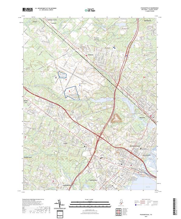
2023 Pleasantville
Atlantic County, NJ