Loading...
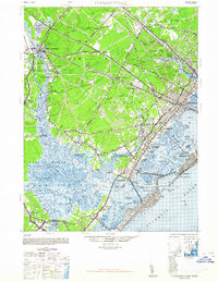
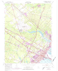
Loading map...1948 Map of Pleasantville
USGS Topo · Published 1948About this map
The Pennsylvania Reading Seashore Lines define the transit corridor of the late 1940s, connecting the interior county seat of Mays Landing to the bustling coastal hubs of Pleasantville and Ocean City. This postwar landscape reveals a complex network of coastal waterways and marshes, where the Great Egg Harbor River flows past timbered stretches of Grisoms Swamp and historic landings like Scullville and English Creek.
Find a feature on this map
109 named features on this map. Tap any name to fly to it.
Don’t see what you’re looking for? This feature index may not catch every label — zoom into the map to look around manually.
Map Details
Date Portrayed1948
Date Published1948
PublisherU.S. Geological Survey
Map TypeTopographic
Scale1:62500
Physical Dimensions17 x 22 inches
Editions of this 1948 Pleasantville Map
2 editions found
Historical Maps of Lyndale Through Time
7 maps found
Featured Locations
Source Details
SourceU.S. Geological Survey
CopyrightPublic Domain