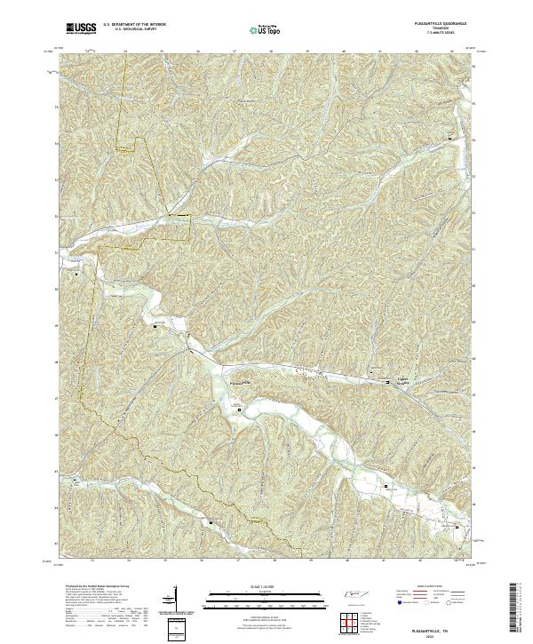
2022 Map of Pleasantville
USGS Topo · Published 2022About this map
Pleasantville serves as a focal point in this portion of the Tennessee hills, where the landscape is defined by an intricate network of hollows and creek branches. The settlement of Upper Sinking and numerous family cemeteries, such as Beech Grove Cem and Qualls Cem, are scattered throughout the terrain, suggesting a long history of kin-based landholding and rural community life. The winding paths of Cane Creek and Upper Sinking Cr dictate the placement of roads like Lower Cane Creek RD and Lancaster / Peach RD.
Find a feature on this map
92 named features on this map. Tap any name to fly to it.
Don’t see what you’re looking for? This feature index may not catch every label — zoom into the map to look around manually.
Map Details
Editions of this 2022 Pleasantville Map
This is the sole edition of this map. No revisions or reprints were ever made.
Other maps of this area

1936 · Graves Spring
USGS Topo · 1:24,000

1936 · Pleasantville
USGS Topo · 1:24,000

1936 · Coble
USGS Topo · 1:24,000

1936 · Beaverdam Springs
USGS Topo · 1:24,000

1936 · Whitfield
USGS Topo · 1:24,000

1936 · Linden
USGS Topo · 1:24,000

1936 · Chestnut Grove
USGS Topo · 1:24,000

1936 · Lobelville
USGS Topo · 1:24,000

1936 · Kimmins
USGS Topo · 1:24,000
1950 · Linden
USGS Topo · 1:24,000