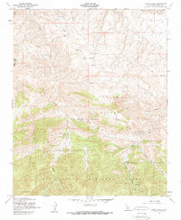
1958 Map of Pleito Hills
USGS Topo · Published 1959About this map
Pleito Hills dominate the central landscape of this Kern County region, which was revised by the Geological Survey in the late 1950s. The map illustrates a stark industrial footprint within the terrain, marked by several oil wells, an oil tank, and an oil sump concentrated in the northern sections. Below the ridges, the Los Padres National Forest spans the southern half of the quadrangle, reaching its peak elevation at Antimony Pk. Local water sources and landmarks like Pleito Creek, Salt Creek, and Neasons Flat are carefully documented, alongside historical human sites. Of particular interest to genealogists is the Harris Ranch (Site), located at the junction of several drainages, which suggests the earlier agricultural presence in this otherwise arid, resource-focused environment. A network of jeep trails provides the only documented access through the deep canyons and high ridges of Wheeler Ridge and the San Emidio boundary.
Find a feature on this map
18 named features on this map. Tap any name to fly to it.
Don’t see what you’re looking for? This feature index may not catch every label — zoom into the map to look around manually.
Map Details
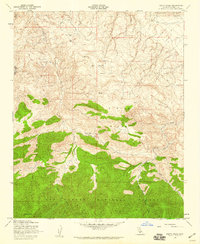
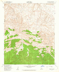
Editions of this 1958 Pleito Hills Map
3 editions found
Other maps of this area

1903 · Mt. Pinos
USGS Topo · 1:125,000

1903 · Tejon
USGS Topo · 1:125,000

1910 · Buena Vista Lake
USGS Topo · 1:125,000

1912 · Buena Vista Lake
USGS Topo · 1:125,000

1914 · Caliente
USGS Topo · 1:125,000

1931 · West of Tejon Hills
USGS Topo · 1:31,680

1931 · Hayes Ranch
USGS Topo · 1:31,680

1933 · Hayes Ranch
USGS Topo · 1:31,680
1934 · West of Tejon Hills
USGS Topo · 1:31,680

1934 · Coal Oil Canyon
USGS Topo · 1:31,680