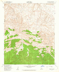
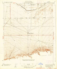
1958 Map of Pleito Hills
USGS Topo · Published 1963About this map
Los Padres National Forest anchors the southern portion of this landscape, where the high elevations of Antimony Pk rise above the surrounding terrain. This mid-century survey illustrates an environment defined by early energy exploration and ranching, with Oil Wells, an Oil Sump, and numerous Water Tanks scattered across the northern slopes. The mapping reveals the footprint of former activity at the Harris Ranch (Site), located along the drainage of Pleito Creek.
Find a feature on this map
16 named features on this map. Tap any name to fly to it.
Don’t see what you’re looking for? This feature index may not catch every label — zoom into the map to look around manually.
Map Details
Editions of this 1958 Pleito Hills Map
3 editions found
Other maps of this area

1903 · Mt. Pinos
USGS Topo · 1:125,000

1903 · Tejon
USGS Topo · 1:125,000

1910 · Buena Vista Lake
USGS Topo · 1:125,000

1912 · Buena Vista Lake
USGS Topo · 1:125,000

1914 · Caliente
USGS Topo · 1:125,000

1931 · West of Tejon Hills
USGS Topo · 1:31,680

1931 · Hayes Ranch
USGS Topo · 1:31,680

1933 · Hayes Ranch
USGS Topo · 1:31,680
1934 · West of Tejon Hills
USGS Topo · 1:31,680
1934 · Coal Oil Canyon
USGS Topo · 1:31,680