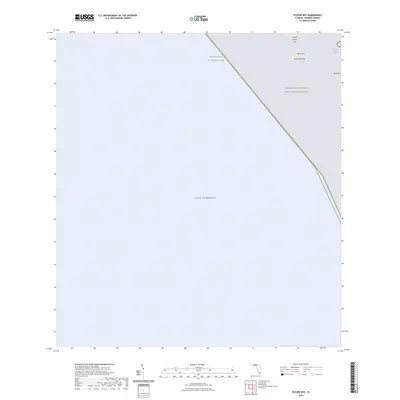
2024 Map of Plover Key
USGS Topo · Published 2024About this map
Marjory Stoneman Douglas Wilderness and the protected coastal reaches of Everglades National Park dominate this southwestern Florida landscape, where the land meets the Gulf of Mexico. The survey documents a remote amphibious environment defined by small islands and points, including North Plover Key, Plover Key, and Bird Key. Coastal features such as Seminole Point and the sheltered waters of Bird Key Bight illustrate the intricate shoreline of Monroe County. This modern 2024 survey captures the preserved state of the Ten Thousand Islands region, providing a baseline for the contemporary geography of these federally protected wilderness areas and their specialized mangrove and estuarine ecosystems.
Find a feature on this map
8 named features on this map. Tap any name to fly to it.
Don’t see what you’re looking for? This feature index may not catch every label — zoom into the map to look around manually.
Map Details
Editions of this 2024 Plover Key Map
This is the sole edition of this map. No revisions or reprints were ever made.
Other maps of this area

1956 · Miami
USGS Topo · 1:250,000

1958 · Miami
USGS Topo · 1:250,000

1972 · Shark Point
USGS Topo · 1:24,000

1973 · Pavilion Key
USGS Topo · 1:24,000
1973 · Plover Key
USGS Topo · 1:24,000

1973 · Lostmans River Ranger Station
USGS Topo · 1:24,000

1973 · Alligator Bay
USGS Topo · 1:24,000

1981 · Cape Sable
USGS Topo · 1:100,000

1982 · Everglades City
USGS Topo · 1:100,000

1988 · Miami
USGS Topo · 1:250,000