
1973 Map of Alligator Bay
USGS Topo · Published 1976About this map
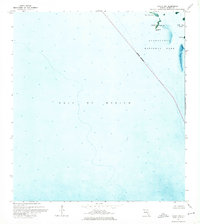
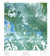
Everglades National Park dominates this coastal wetland landscape, where the labyrinthine aquatic systems of southwestern Florida meet the Gulf of Mexico. The map details a complex network of brackish bays and tidal rivers, including Last Huston Bay, Chevelier Bay, and Cannon Bay, connected by the winding Wilderness Waterway. This area is notable for its isolated historical sites, most significantly The Watson Place and Chatham, which represent the rare pockets of human habitation within this dense mangrove and sawgrass environment. The interplay of names like Walker Strand and Gum Slough highlights the distinct vegetative zones of the swamp, while smaller features such as Deer Island and Opossum Key provide critical landmarks for navigating the intricate waterways. The presence of the Gator Waterway and various campsites emphasizes the area's role as a preserve for both wildlife and remote recreational passage during the mid-1970s.
Find a feature on this map
36 named features on this map. Tap any name to fly to it.
Don’t see what you’re looking for? This feature index may not catch every label — zoom into the map to look around manually.
Map Details
Editions of this 1973 Alligator Bay Map
This is the sole edition of this map. No revisions or reprints were ever made.
Other maps of this area

1956 · Miami
USGS Topo · 1:250,000

1958 · Miami
USGS Topo · 1:250,000

1972 · Big Boy Lake
USGS Topo · 1:24,000

1973 · Gator Hook Swamp
USGS Topo · 1:24,000

1973 · Pavilion Key
USGS Topo · 1:24,000
1973 · Plover Key
USGS Topo · 1:24,000

1973 · Monroe Station
USGS Topo · 1:24,000

1973 · Big Lostmans Bay
USGS Topo · 1:24,000

1973 · Lostmans River Ranger Station
USGS Topo · 1:24,000
1974 · Chokoloskee
USGS Topo · 1:24,000