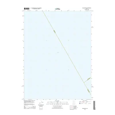
2014 Map of Plug Peak SE
USGS Topo · Published 2014About this map
Great Salt Lake dominates this expanse, covering the vast majority of the quadrangle with its brine waters. This particular section of the lake serves as a geographical meeting point for three major Utah counties. The map precisely delineates the aquatic boundaries where Davis Co Tooele Co, Davis Co Salt Lake Co, and Salt Lake Co Tooele Co intersect in the middle of the lake. While the lack of terrestrial features highlights the open nature of the lake's surface, the survey provides critical data on the jurisdictional divisions across the water near Magna during the early 2010s.
Find a feature on this map
4 named features on this map. Tap any name to fly to it.
Don’t see what you’re looking for? This feature index may not catch every label — zoom into the map to look around manually.
Map Details
Editions of this 2014 Plug Peak SE Map
This is the sole edition of this map. No revisions or reprints were ever made.
Other maps of this area

1885 · Tooele Valley
USGS Topo · 1:250,000

1952 · Antelope Island South
USGS Topo · 1:24,000

1952 · Garfield
USGS Topo · 1:24,000

1953 · Tooele
USGS Topo · 1:250,000

1954 · Antelope Island
USGS Topo · 1:24,000

1955 · Mills Junction
USGS Topo · 1:24,000

1955 · Burmester
USGS Topo · 1:24,000

1955 · Tooele
USGS Topo · 1:250,000

1968 · Plug Peak SE
USGS Topo · 1:24,000

1968 · Plug Peak NW
USGS Topo · 1:24,000