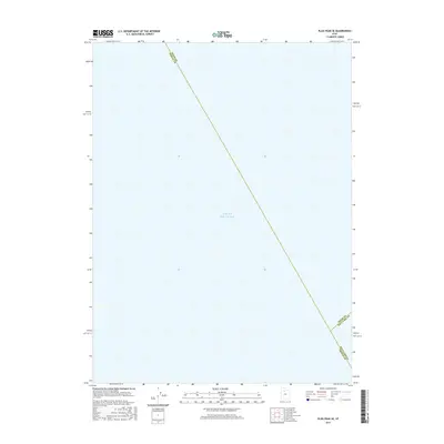
2017 Map of Plug Peak SE
USGS Topo · Published 2017About this map
Great Salt Lake dominates this 2017 survey, offering a specialized look at the convergence of three Utah counties over open water. The map serves as a precise geographic record of the aquatic boundaries between Davis Co Tooele Co, Davis Co Salt Lake Co, and Salt Lake Co Tooele Co. Produced by the U.S. Geological Survey, it provides a rare perspective of this specific section of the lake where no terrestrial landmarks are present, focusing entirely on the hydrography and jurisdictional divisions of the region in the late 2010s. This layout is particularly useful for understanding the exact positioning of county lines in areas where traditional physical markers are submerged or absent.
Find a feature on this map
4 named features on this map. Tap any name to fly to it.
Don’t see what you’re looking for? This feature index may not catch every label — zoom into the map to look around manually.
Map Details
Editions of this 2017 Plug Peak SE Map
This is the sole edition of this map. No revisions or reprints were ever made.
Other maps of this area

1885 · Tooele Valley
USGS Topo · 1:250,000

1952 · Antelope Island South
USGS Topo · 1:24,000

1952 · Garfield
USGS Topo · 1:24,000

1953 · Tooele
USGS Topo · 1:250,000

1954 · Antelope Island
USGS Topo · 1:24,000

1955 · Mills Junction
USGS Topo · 1:24,000

1955 · Burmester
USGS Topo · 1:24,000

1955 · Tooele
USGS Topo · 1:250,000

1968 · Plug Peak SE
USGS Topo · 1:24,000

1968 · Plug Peak NW
USGS Topo · 1:24,000