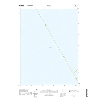
2020 Map of Plug Peak SE
USGS Topo · Published 2020About this map
Great Salt Lake dominates this 2020 survey, which primarily documents the open water and political boundaries within the southern portion of the lake. The map illustrates a unique convergence of county lines that meet in the middle of the water, including the Davis Co Tooele Co boundary and the Davis Co Salt Lake Co line. Near the southeastern corner, the Salt Lake Co Tooele Co junction provides a specific cartographic look at how these three major Utah counties divide the lakebed. This sheet is a specialized study of aquatic geography and jurisdictional limits rather than terrestrial settlements, focusing entirely on the expanse of the Great Salt Lake.
Find a feature on this map
4 named features on this map. Tap any name to fly to it.
Don’t see what you’re looking for? This feature index may not catch every label — zoom into the map to look around manually.
Map Details
Editions of this 2020 Plug Peak SE Map
This is the sole edition of this map. No revisions or reprints were ever made.
Other maps of this area

1885 · Tooele Valley
USGS Topo · 1:250,000

1952 · Antelope Island South
USGS Topo · 1:24,000

1952 · Garfield
USGS Topo · 1:24,000

1953 · Tooele
USGS Topo · 1:250,000

1954 · Antelope Island
USGS Topo · 1:24,000

1955 · Mills Junction
USGS Topo · 1:24,000

1955 · Burmester
USGS Topo · 1:24,000

1955 · Tooele
USGS Topo · 1:250,000

1968 · Plug Peak SE
USGS Topo · 1:24,000

1968 · Plug Peak NW
USGS Topo · 1:24,000