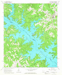
1964 Map of Plum Branch
USGS Topo · Published 1967About this map
Sumter National Forest blankets much of the terrain in this mid-1960s survey, where the rising waters of the Savannah River Clark Hill Reservoir have reshaped the border between South Carolina and Georgia. The town of Plum Branch stands as a primary hub along the Seaboard Coast Line railroad, surrounded by a network of rural landmarks including Republican Ch, Springfield Ch, and Pine Grove Ch.
Find a feature on this map
32 named features on this map. Tap any name to fly to it.
Don’t see what you’re looking for? This feature index may not catch every label — zoom into the map to look around manually.
Map Details
Editions of this 1964 Plum Branch Map
2 editions found
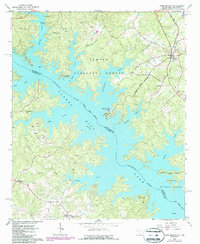
Other maps of this area

1892 · Mc Cormick
USGS Topo · 1:125,000

1912 · Mc Cormick
USGS Topo · 1:125,000

1920 · Clarks Hill
USGS Topo · 1:48,000

1921 · Clarks Hill
USGS Topo · 1:62,500

1921 · Appling
USGS Topo · 1:62,500

1941 · Clarks Hill
USGS Topo · 1:62,500

1942 · Clarks Hill
USGS Topo · 1:62,500

1943 · Appling
USGS Topo · 1:62,500

1953 · Athens
USGS Topo · 1:250,000

1958 · Athens
USGS Topo · 1:250,000