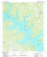
1964 Map of Plum Branch
USGS Topo · Published 1987About this map
Clarks Hill Lake Savannah River dominates the landscape of the South Carolina-Georgia border, filling the valleys where Little River and numerous creeks once flowed freely. The terrain is characterized by the complex, branching shoreline of the reservoir, which at an elevation of 330 feet has created a labyrinth of peninsulas and inlets throughout the Sumter National Forest. This 1960s-era geography shows a transition toward recreation and conservation, evidenced by the Clark Hill Marina, Hawe Creek Camping Area, and Camp Daniel Marshall. Settlement is concentrated along the ridges, notably at the town of Plum Branch near the CSX railroad line. Local history and genealogy interest is found in the scattered rural landmarks, such as Springfield Ch, Republican Ch, and the junction at Martins Crossroads, which remained as anchors for the community after the flooding of the river basin.
Find a feature on this map
37 named features on this map. Tap any name to fly to it.
Don’t see what you’re looking for? This feature index may not catch every label — zoom into the map to look around manually.
Map Details
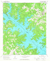
Editions of this 1964 Plum Branch Map
2 editions found
Other maps of this area

1892 · Mc Cormick
USGS Topo · 1:125,000

1912 · Mc Cormick
USGS Topo · 1:125,000

1920 · Clarks Hill
USGS Topo · 1:48,000

1921 · Clarks Hill
USGS Topo · 1:62,500

1921 · Appling
USGS Topo · 1:62,500

1941 · Clarks Hill
USGS Topo · 1:62,500

1942 · Clarks Hill
USGS Topo · 1:62,500

1943 · Appling
USGS Topo · 1:62,500

1953 · Athens
USGS Topo · 1:250,000

1958 · Athens
USGS Topo · 1:250,000