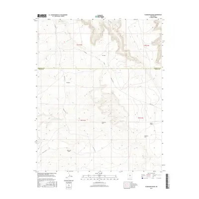
2017 Map of Plumasano Basin
USGS Topo · Published 2017About this map
Pie Mesa and Red Mesa dominate the high-elevation landscape of this northwestern New Mexico territory, straddling the county line between McKinley and Cibola. The geography is defined by a network of drainage systems including Willow Wash and Plumasano Wash, which carve through the Plumasano Basin and create rugged relief at Mullen Canyon and Yellowrock Canyon.
Find a feature on this map
18 named features on this map. Tap any name to fly to it.
Don’t see what you’re looking for? This feature index may not catch every label — zoom into the map to look around manually.
Map Details
Editions of this 2017 Plumasano Basin Map
This is the sole edition of this map. No revisions or reprints were ever made.
Other maps of this area

1886 · Wingate
USGS Topo · 1:250,000

1892 · Wingate
USGS Topo · 1:250,000

1954 · Saint Johns
USGS Topo · 1:250,000

1954 · Gallup
USGS Topo · 1:250,000

1957 · Saint Johns
USGS Topo · 1:250,000

1958 · Gallup
USGS Topo · 1:250,000

1958 · Saint Johns
USGS Topo · 1:250,000

1959 · Gallup
USGS Topo · 1:250,000

1962 · Gallup
USGS Topo · 1:250,000

1962 · Saint Johns
USGS Topo · 1:250,000