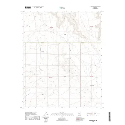
2020 Map of Plumasano Basin
USGS Topo · Published 2020About this map
Plumasano Basin sits at the heart of this high-altitude landscape along the border of McKinley and Cibola Counties. The topography is defined by significant landforms like the broad Pie Mesa and the nearby Red Mesa, which separate various drainage systems. Water movement through this arid environment is traced by the seasonal courses of Plumasano Wash and Willow Wash, alongside deep cuts such as Yellowrock Canyon and Mullen Canyon.
Find a feature on this map
19 named features on this map. Tap any name to fly to it.
Don’t see what you’re looking for? This feature index may not catch every label — zoom into the map to look around manually.
Map Details
Editions of this 2020 Plumasano Basin Map
This is the sole edition of this map. No revisions or reprints were ever made.
Other maps of this area

1886 · Wingate
USGS Topo · 1:250,000

1892 · Wingate
USGS Topo · 1:250,000

1954 · Saint Johns
USGS Topo · 1:250,000

1954 · Gallup
USGS Topo · 1:250,000

1957 · Saint Johns
USGS Topo · 1:250,000

1958 · Gallup
USGS Topo · 1:250,000

1958 · Saint Johns
USGS Topo · 1:250,000

1959 · Gallup
USGS Topo · 1:250,000

1962 · Gallup
USGS Topo · 1:250,000

1962 · Saint Johns
USGS Topo · 1:250,000