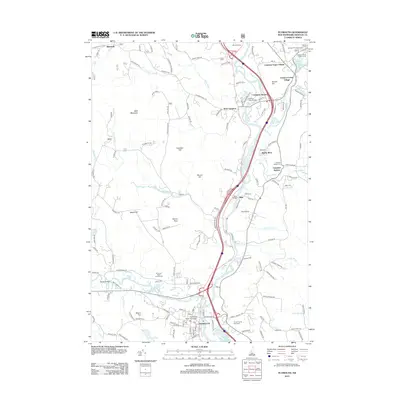
2012 Map of Plymouth
USGS Topo · Published 2012About this map
Plymouth serves as a major regional anchor on this 2012 survey, defined by the extensive campus of Plymouth State University and the Plymouth State Fairgrounds along the Baker River. The landscape is a corridor of established settlements following the water, from Campton Upper Village and Campton Lower Village in the north down to West Campton and Beebe River. This spatial arrangement reflects a legacy of river-based industry and rail transport, evidenced by locations like Campton Station and Lyfords Siding.
Find a feature on this map
132 named features on this map. Tap any name to fly to it.
Don’t see what you’re looking for? This feature index may not catch every label — zoom into the map to look around manually.
Map Details
Editions of this 2012 Plymouth Map
This is the sole edition of this map. No revisions or reprints were ever made.
Other maps of this area

1925 · Holderness
USGS Topo · 1:62,500

1927 · Holderness
USGS Topo · 1:62,500

1927 · Cardigan
USGS Topo · 1:62,500

1928 · Plymouth
USGS Topo · 1:62,500

1928 · Rumney
USGS Topo · 1:62,500

1930 · Cardigan
USGS Topo · 1:62,500

1931 · Plymouth
USGS Topo · 1:62,500

1932 · Rumney
USGS Topo · 1:62,500

1949 · Portland
USGS Topo · 1:250,000

1956 · Cardigan
USGS Topo · 1:62,500