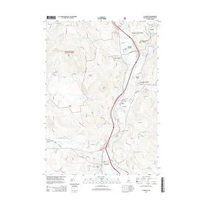
2015 Map of Plymouth
USGS Topo · Published 2015About this map
The Pemigewasset River carves a central corridor through this Grafton County landscape, where the valley floor transitions into the eastern edges of the White Mountain National Forest. In the southern reach, Plymouth serves as a significant hub, anchored by the campus of Plymouth State Univ and the Plymouth Municipal Airport. The settlement pattern follows the water, with a series of distinct communities such as Campton Upper Village, Campton Lower Village, and Campton Station lining the riverbanks. Cultural markers including the Trinity Church Yard Cem and Blair Cem offer valuable points of interest for genealogical research. The map also highlights local infrastructure like the Smith Bridge crossing the Baker River and the topographic prominence of Bald Mtn and Mt Tim overlooking the valley.
Find a feature on this map
119 named features on this map. Tap any name to fly to it.
Don’t see what you’re looking for? This feature index may not catch every label — zoom into the map to look around manually.
Map Details
Editions of this 2015 Plymouth Map
This is the sole edition of this map. No revisions or reprints were ever made.
Other maps of this area

1925 · Holderness
USGS Topo · 1:62,500

1927 · Holderness
USGS Topo · 1:62,500

1927 · Cardigan
USGS Topo · 1:62,500

1928 · Plymouth
USGS Topo · 1:62,500

1928 · Rumney
USGS Topo · 1:62,500

1930 · Cardigan
USGS Topo · 1:62,500

1931 · Plymouth
USGS Topo · 1:62,500

1932 · Rumney
USGS Topo · 1:62,500

1949 · Portland
USGS Topo · 1:250,000

1956 · Cardigan
USGS Topo · 1:62,500