Loading...
Loading map...2021 Map of Plymouth
USGS Topo · Published 2021About this map
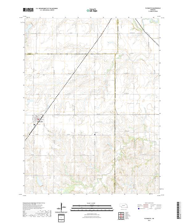
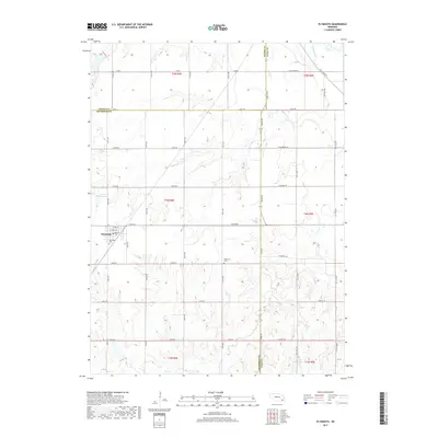
Plymouth serves as the central hub of this agricultural landscape where the borders of Jefferson, Saline, and Gage counties meet. The town grid is clearly defined by local landmarks like Woodlawn Cem on its southern edge, while the surrounding countryside is partitioned by an extensive section-line road network including 723rd Rd and 720th Rd.
Find a feature on this map
34 named features on this map. Tap any name to fly to it.
Don’t see what you’re looking for? This feature index may not catch every label — zoom into the map to look around manually.
Map Details
Date Portrayed2021
Date Published2021
PublisherU.S. Geological Survey
Map TypeTopographic
Scale1:24,000
Physical Dimensions24 x 29 inches
Editions of this 2021 Plymouth Map
This is the sole edition of this map. No revisions or reprints were ever made.
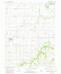
Historical Maps of Plymouth Through Time
5 maps found
Featured Locations
Source Details
SourceU.S. Geological Survey
CopyrightPublic Domain