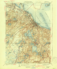
1939 Map of Plymouth
USGS Topo · Published 1942About this map
Plymouth and its historic coastal environs are presented here during the late 1930s, documenting a landscape where maritime history meets early aviation and conservation. At the harbor entrance, landmarks like the Duxbury Pier Lighthouse and Fort Standish on Saquish Head protected the approaches to Plymouth Rock and Coles Hill. The shoreline reflects industrial activity at Cordage and North Plymouth, while the inland terrain is dominated by an extensive network of freshwater ponds including the sprawling Billington Sea and Great South Pond.
Find a feature on this map
58 named features on this map. Tap any name to fly to it.
Don’t see what you’re looking for? This feature index may not catch every label — zoom into the map to look around manually.
Map Details
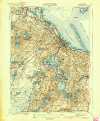
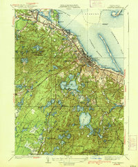
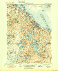
Editions of this 1939 Plymouth Map
4 editions found
Other maps of this area

1885 · Abington
USGS Topo · 1:62,500

1885 · Duxbury
USGS Topo · 1:62,500

1885 · Middleboro
USGS Topo · 1:62,500

1886 · Plymouth
USGS Topo · 1:62,500

1888 · Duxbury
USGS Topo · 1:62,500

1888 · Middleboro
USGS Topo · 1:62,500

1888 · Abington
USGS Topo · 1:62,500

1889 · Plymouth
USGS Topo · 1:62,500

1893 · Abington
USGS Topo · 1:62,500

1893 · Duxbury
USGS Topo · 1:62,500