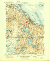
1939 Map of Plymouth
USGS Topo · Published 1951About this map
Plymouth and its harbor stand at the center of this coastal survey, which details a landscape deeply influenced by both maritime trade and glacial hydrology. The shoreline features significant historical markers like Plymouth Rock and Coles Hill, while the harbor is protected by the long reach of Plymouth Beach and the Duxbury Pier Lighthouse. Moving inland, the terrain is characterized by a dense network of water bodies and industrial agriculture, particularly the extensive Cranberry Bogs and several named bogs like Cushman Bog and Vaughn Bog.
Find a feature on this map
109 named features on this map. Tap any name to fly to it.
Don’t see what you’re looking for? This feature index may not catch every label — zoom into the map to look around manually.
Map Details
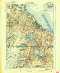
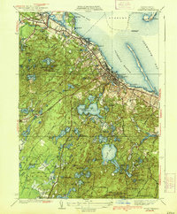
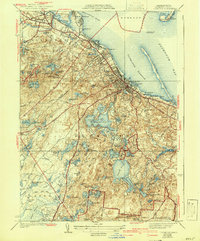
Editions of this 1939 Plymouth Map
4 editions found
Other maps of this area

1885 · Abington
USGS Topo · 1:62,500

1885 · Duxbury
USGS Topo · 1:62,500

1885 · Middleboro
USGS Topo · 1:62,500

1886 · Plymouth
USGS Topo · 1:62,500

1888 · Duxbury
USGS Topo · 1:62,500

1888 · Middleboro
USGS Topo · 1:62,500

1888 · Abington
USGS Topo · 1:62,500

1889 · Plymouth
USGS Topo · 1:62,500

1893 · Abington
USGS Topo · 1:62,500

1893 · Duxbury
USGS Topo · 1:62,500