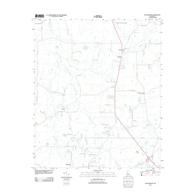
2012 Map of Pocahontas
USGS Topo · Published 2012About this map
Pocahontas Mound stands as a central historical landmark in this Hinds County landscape, situated near the settlement of Pocahontas and its local Pocahontas Cem. The terrain is defined by the winding course of Bogue Chitto Cr and Limekiln Cr, which drain a region characterized by small rural communities and family-named cemeteries. To the southwest, the community of Tinnin and the Tinnin Cem highlight the local settlement patterns of the early 21st century. The map also features recreational and residential nodes such as Camp Kickapoo near Kickapoo Lake and the southern neighborhood of Wateroaks. The infrastructure reflects a mix of traditional agriculture and modern transition, notably including the Slobovia Outernational Airport and the expansive Garden Memorial Park.
Find a feature on this map
87 named features on this map. Tap any name to fly to it.
Don’t see what you’re looking for? This feature index may not catch every label — zoom into the map to look around manually.
Map Details
Editions of this 2012 Pocahontas Map
This is the sole edition of this map. No revisions or reprints were ever made.
Other maps of this area

1903 · Jackson
USGS Topo · 1:125,000

1905 · Jackson
USGS Topo · 1:48,000

1908 · Jackson
USGS Topo · 1:62,500

1934 · Raymond
USGS Topo · 1:48,000

1937 · Raymond
USGS Topo · 1:62,500

1942 · Raymond
USGS Topo · 1:62,500

1955 · Jackson
USGS Topo · 1:250,000

1961 · Jackson
USGS Topo · 1:250,000

1961 · Canton
USGS Topo · 1:62,500

1962 · Jackson
USGS Topo · 1:250,000