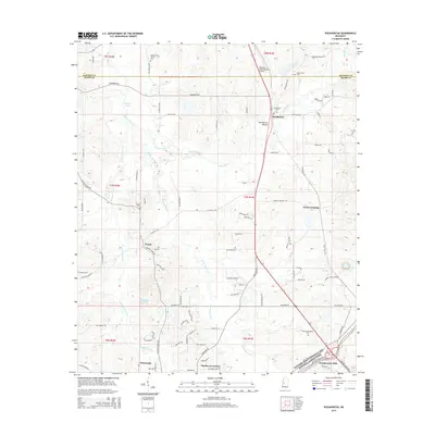
2015 Map of Pocahontas
USGS Topo · Published 2015About this map
Pocahontas Mound stands as a significant landmark in this region north of Jackson, where the rural character of Hinds County meets the advancing residential developments of the 21st century. The map depicts a landscape defined by the winding course of Bogue Chitto Cr and its tributaries like Limekiln Cr and Straight Fence Cr. Historic settlement patterns are anchored by the community of Pocahontas, which is situated near the Pocahontas Cem and several other local burying grounds including Shady Grove Cem and Cedar Grove Cem.
Find a feature on this map
67 named features on this map. Tap any name to fly to it.
Don’t see what you’re looking for? This feature index may not catch every label — zoom into the map to look around manually.
Map Details
Editions of this 2015 Pocahontas Map
This is the sole edition of this map. No revisions or reprints were ever made.
Other maps of this area

1903 · Jackson
USGS Topo · 1:125,000

1905 · Jackson
USGS Topo · 1:48,000

1908 · Jackson
USGS Topo · 1:62,500

1934 · Raymond
USGS Topo · 1:48,000

1937 · Raymond
USGS Topo · 1:62,500

1942 · Raymond
USGS Topo · 1:62,500

1955 · Jackson
USGS Topo · 1:250,000

1961 · Jackson
USGS Topo · 1:250,000

1961 · Canton
USGS Topo · 1:62,500

1962 · Jackson
USGS Topo · 1:250,000