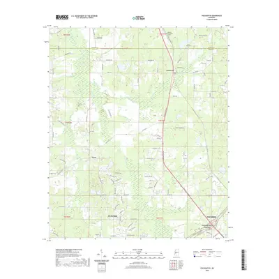
2020 Map of Pocahontas
USGS Topo · Published 2020About this map
The boundary between Madison and Hinds counties bisects this landscape, where the rural community of Pocahontas sits along the corridor of Medgar Evers Blvd. This area maintains a strong connection to its pioneer and family roots, evidenced by numerous burial grounds including Shady Grove Church Cem, Cedar Grove Cem, and Pocahontas Cem. The terrain is defined by the drainages of Bogue Chitto Cr and Limekiln Creek, which flow through a mix of wooded patches and residential development.
Find a feature on this map
93 named features on this map. Tap any name to fly to it.
Don’t see what you’re looking for? This feature index may not catch every label — zoom into the map to look around manually.
Map Details
Editions of this 2020 Pocahontas Map
This is the sole edition of this map. No revisions or reprints were ever made.
Other maps of this area

1903 · Jackson
USGS Topo · 1:125,000

1905 · Jackson
USGS Topo · 1:48,000

1908 · Jackson
USGS Topo · 1:62,500

1934 · Raymond
USGS Topo · 1:48,000

1937 · Raymond
USGS Topo · 1:62,500

1942 · Raymond
USGS Topo · 1:62,500

1955 · Jackson
USGS Topo · 1:250,000

1961 · Jackson
USGS Topo · 1:250,000

1961 · Canton
USGS Topo · 1:62,500

1962 · Jackson
USGS Topo · 1:250,000