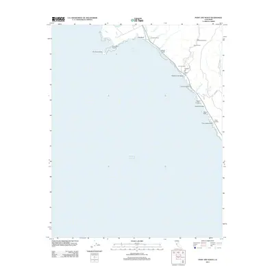
2012 Map of Point Ano Nuevo
USGS Topo · Published 2012About this map
Point Año Nuevo and the adjacent Año Nuevo Island dominate this coastal survey, where the Santa Cruz and San Mateo county lines meet the Pacific. The landscape is characterized by a series of drainages and gulches, such as Wilson Gulch and Elliot Cr, that cut through the bluffs to the sea. Settlement patterns follow the Highway 1 corridor, including the Coastways Ranch and the small residential cluster at Canada de la Salud.
Find a feature on this map
29 named features on this map. Tap any name to fly to it.
Don’t see what you’re looking for? This feature index may not catch every label — zoom into the map to look around manually.
Map Details
Editions of this 2012 Point Ano Nuevo Map
This is the sole edition of this map. No revisions or reprints were ever made.
Other maps of this area

1902 · Santa Cruz
USGS Topo · 1:125,000

1940 · Ano Nuevo
USGS Topo · 1:62,500

1941 · Ano Nuevo Pt.
USGS Topo · 1:62,500

1942 · Ano Nuevo
USGS Topo · 1:62,500

1947 · San Francisco
USGS Topo · 1:250,000

1948 · San Francisco
USGS Topo · 1:250,000

1948 · Ano Nuevo
USGS Topo · 1:62,500

1955 · San Francisco
USGS Topo · 1:250,000
1955 · Pigeon Point
USGS Topo · 1:24,000
1955 · Ano Nuevo
USGS Topo · 1:24,000