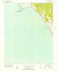
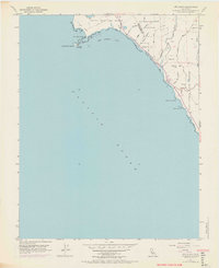
1955 Map of Ano Nuevo
USGS Topo · Published 1956About this map
The rocky protrusion of Punta Del Año Nuevo dominates this coastal survey, where the terrestrial landscape meets the Pacific Ocean. Just offshore sits Año Nuevo Island, marked by a Lighthouse (Abandoned) and preserved within the Año Nuevo Island State Park. This mid-century map illustrates the interface between the rugged coastline and the rising Santa Cruz Mountains, showing a landscape defined by significant drainage systems such as Waddell Creek and Finney Creek.
Find a feature on this map
25 named features on this map. Tap any name to fly to it.
Don’t see what you’re looking for? This feature index may not catch every label — zoom into the map to look around manually.
Map Details
Editions of this 1955 Ano Nuevo Map
6 editions found
Other maps of this area

1902 · Santa Cruz
USGS Topo · 1:125,000

1940 · Ano Nuevo
USGS Topo · 1:62,500

1941 · Ano Nuevo Pt.
USGS Topo · 1:62,500

1942 · Ano Nuevo
USGS Topo · 1:62,500

1947 · San Francisco
USGS Topo · 1:250,000

1948 · San Francisco
USGS Topo · 1:250,000

1948 · Ano Nuevo
USGS Topo · 1:62,500

1955 · San Francisco
USGS Topo · 1:250,000
1955 · Pigeon Point
USGS Topo · 1:24,000
1955 · Franklin Point
USGS Topo · 1:24,000