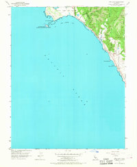
1955 Map of Ano Nuevo
USGS Topo · Published 1968About this map
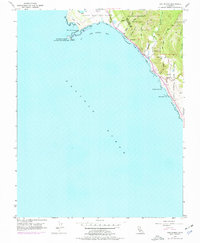
Punta del Año Nuevo and its shifting Sand Dunes define this coastal boundary between Santa Cruz and San Mateo counties as it was documented in the mid-1950s. The landscape is dominated by the rugged transition from the Pacific surf to the forested slopes of Big Basin Redwoods State Park. Just offshore, the Lighthouse (Abandoned) on Año Nuevo Island stands as a silent sentinel over Año Nuevo Bay, marking a point where maritime navigation met the treacherous rocky coast.
Find a feature on this map
26 named features on this map. Tap any name to fly to it.
Don’t see what you’re looking for? This feature index may not catch every label — zoom into the map to look around manually.
Map Details
Editions of this 1955 Ano Nuevo Map
6 editions found
Other maps of this area

1902 · Santa Cruz
USGS Topo · 1:125,000

1940 · Ano Nuevo
USGS Topo · 1:62,500

1941 · Ano Nuevo Pt.
USGS Topo · 1:62,500

1942 · Ano Nuevo
USGS Topo · 1:62,500

1947 · San Francisco
USGS Topo · 1:250,000

1948 · San Francisco
USGS Topo · 1:250,000

1948 · Ano Nuevo
USGS Topo · 1:62,500

1955 · San Francisco
USGS Topo · 1:250,000
1955 · Pigeon Point
USGS Topo · 1:24,000
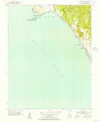
1955 · Ano Nuevo
USGS Topo · 1:24,000