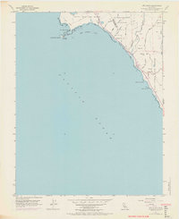
1955 Map of Ano Nuevo
USGS Topo · Published 1969About this map
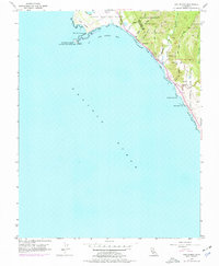
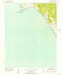
Punta del Año Nuevo defines this coastal landscape where the Santa Cruz and San Mateo county lines meet. The 1950s environment is characterized by a mix of protected wildlands and early industrial remnants, including the abandoned lighthouse on Año Nuevo Island. Evidence of the region’s timber and ranching history is found in labels for a Sawmill and the settlement at Graves, while the rugged coast is marked by Sand Dunes and rocky outcrops like Greyhound Rock. Inland, the map documents the southwestern reaches of Big Basin Redwoods State Park and the drainage of Waddell Creek. The 1968 purple revisions indicate evolving road networks and parking areas, reflecting the area's transition into a more accessible public State Reserve. Local genealogy and land use are further marked by VABM Cem 876 and the winding course of Last Chance Road.
Find a feature on this map
29 named features on this map. Tap any name to fly to it.
Don’t see what you’re looking for? This feature index may not catch every label — zoom into the map to look around manually.
Map Details
Editions of this 1955 Ano Nuevo Map
6 editions found
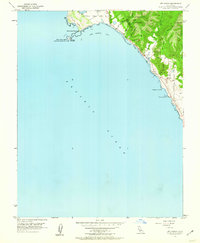
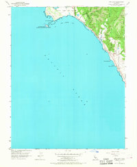
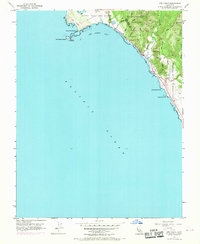
Other maps of this area

1902 · Santa Cruz
USGS Topo · 1:125,000

1940 · Ano Nuevo
USGS Topo · 1:62,500

1941 · Ano Nuevo Pt.
USGS Topo · 1:62,500

1942 · Ano Nuevo
USGS Topo · 1:62,500

1947 · San Francisco
USGS Topo · 1:250,000

1948 · San Francisco
USGS Topo · 1:250,000

1948 · Ano Nuevo
USGS Topo · 1:62,500

1955 · San Francisco
USGS Topo · 1:250,000
1955 · Pigeon Point
USGS Topo · 1:24,000
1955 · Ano Nuevo
USGS Topo · 1:24,000