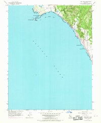
1955 Map of Ano Nuevo
USGS Topo · Published 1969About this map
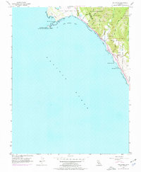
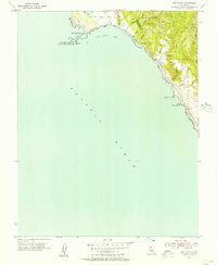
Punta del Año Nuevo and the adjacent Año Nuevo Island dominate this coastal survey, where an abandoned lighthouse stands as a sentinel over the shifting Sand Dunes. The map documents the rugged interface of the Pacific Ocean and the Santa Cruz coastal range during the mid-1950s, with later 1968 revisions captured in purple. This landscape is a transition of protected lands, moving from the marine-focused Año Nuevo State Reserve into the dense timber of Big Basin Redwoods State Park. Drainage patterns are finely detailed through Waddell Creek and the Arroyo de las Trancas, reflecting the complex hydrology of the Agua Puerca y las Trancas region. Evidence of early coastal settlement and navigation is preserved through labels for a small Cem and prominent offshore landmarks like Greyhound Rock and Pelican Rock.
Find a feature on this map
24 named features on this map. Tap any name to fly to it.
Don’t see what you’re looking for? This feature index may not catch every label — zoom into the map to look around manually.
Map Details
Editions of this 1955 Ano Nuevo Map
6 editions found
Other maps of this area

1902 · Santa Cruz
USGS Topo · 1:125,000

1940 · Ano Nuevo
USGS Topo · 1:62,500

1941 · Ano Nuevo Pt.
USGS Topo · 1:62,500

1942 · Ano Nuevo
USGS Topo · 1:62,500

1947 · San Francisco
USGS Topo · 1:250,000

1948 · San Francisco
USGS Topo · 1:250,000

1948 · Ano Nuevo
USGS Topo · 1:62,500

1955 · San Francisco
USGS Topo · 1:250,000
1955 · Pigeon Point
USGS Topo · 1:24,000
1955 · Ano Nuevo
USGS Topo · 1:24,000