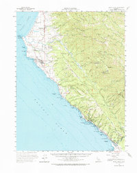
1960 Map of Point Arena
USGS Topo · Published 1971About this map
The Point Arena Lighthouse stands as a primary sentinel on this coastal stretch of Mendocino County, marking a landscape where the Garcia River and Gualala River meet the Pacific Ocean. This mid-century survey reveals a coastline defined by maritime and military utility, from the Coast Guard Reservation near the point to the Point Arena Air Force Station situated further inland on Eureka Hill. The settlement patterns of Point Arena and Manchester are clearly delineated, alongside the Manchester (Point Arena) Rancheria. Significant land-use details include the Manchester State Beach, an Airstrip at Flumeville, and numerous small gulches like Schooner Gulch and China Gulch that cut through the coastal ridges. The presence of the Galloway Sch and several small cemeteries highlights the localized infrastructure of these rural coastal communities before modern expansion.
Find a feature on this map
81 named features on this map. Tap any name to fly to it.
Don’t see what you’re looking for? This feature index may not catch every label — zoom into the map to look around manually.
Map Details
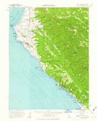
Editions of this 1960 Point Arena Map
2 editions found
Other maps of this area

1921 · Plantation
USGS Topo · 1:62,500

1943 · Point Arena
USGS Topo · 1:62,500

1943 · Albion
USGS Topo · 1:62,500

1943 · Boonville
USGS Topo · 1:62,500

1943 · Navarro
USGS Topo · 1:62,500

1943 · Stewarts Point
USGS Topo · 1:24,000

1943 · Ornbaun
USGS Topo · 1:62,500

1944 · Stewarts Point
USGS Topo · 1:31,680

1944 · Saddle Point
USGS Topo · 1:62,500

1944 · Ornbaun
USGS Topo · 1:62,500