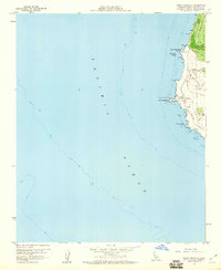
1959 Map of Point Arguello
USGS Topo · Published 1960About this map
The Point Arguello Naval Missile Facility anchors this 1959 topographic survey of the Santa Barbara coast, capturing a landscape defined by military infrastructure and the rugged shoreline of Punta de la Concepcion. Small settlements like Honda, Arguello, and Arlight sit along the winding tracks of the Southern Pacific railroad, which hugs the coast between the Pacific and steep terrain features like Tranquillon Ridge and Cypress Ridge.
Find a feature on this map
22 named features on this map. Tap any name to fly to it.
Don’t see what you’re looking for? This feature index may not catch every label — zoom into the map to look around manually.
Map Details
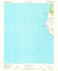
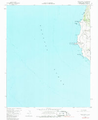
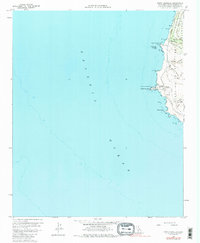
Editions of this 1959 Point Arguello Map
4 editions found
Other maps of this area

1905 · Guadalupe
USGS Topo · 1:125,000

1942 · Point Arguello
USGS Topo · 1:62,500

1942 · Guadalupe
USGS Topo · 1:125,000

1947 · Surf
USGS Topo · 1:24,000
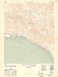
1947 · El Tranquillon
USGS Topo · 1:24,000
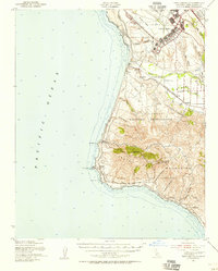
1947 · Point Arguello
USGS Topo · 1:62,500
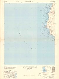
1948 · Point Arguello
USGS Topo · 1:24,000
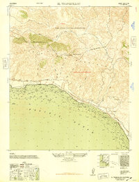
1948 · El Tranquillon
USGS Topo · 1:24,000

1948 · Santa Maria
USGS Topo · 1:250,000

1956 · Santa Maria
USGS Topo · 1:250,000