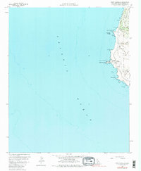
1959 Map of Point Arguello
USGS Topo · Published 1986About this map
The US Naval Missile Facility Point Arguello dominates the shoreline in this coastal survey, reflecting the mid-century transition toward military and aerospace operations on the California coast. Along the Southern Pacific tracks, the small stops of Arlight and Honda sit near the rugged headlands of Point Arguello and Point Pedernales. The marine landscape is marked by navigational hazards and aids, including a noted Wreck near Destroyer Rock and a Coast Guard Sta equipped with a Loran Tower and Radio Tower. Inland, the topography rises sharply toward Tranquillon Ridge and Cypress Ridge, dissected by steep drainages like Grey Canyon and Red Roof Canyon. This map captures a specific moment when traditional rail transportation and coastal maritime safety infrastructure intersected with the burgeoning Cold War missile testing facilities of the Punta de la Concepcion region.
Find a feature on this map
29 named features on this map. Tap any name to fly to it.
Don’t see what you’re looking for? This feature index may not catch every label — zoom into the map to look around manually.
Map Details
Editions of this 1959 Point Arguello Map
4 editions found
Other maps of this area

1905 · Guadalupe
USGS Topo · 1:125,000

1942 · Point Arguello
USGS Topo · 1:62,500

1942 · Guadalupe
USGS Topo · 1:125,000

1947 · Surf
USGS Topo · 1:24,000
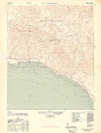
1947 · El Tranquillon
USGS Topo · 1:24,000
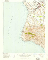
1947 · Point Arguello
USGS Topo · 1:62,500
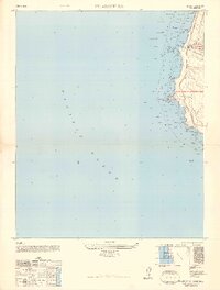
1948 · Point Arguello
USGS Topo · 1:24,000
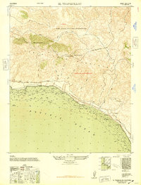
1948 · El Tranquillon
USGS Topo · 1:24,000

1948 · Santa Maria
USGS Topo · 1:250,000

1956 · Santa Maria
USGS Topo · 1:250,000